Settings 
The settings icon is at the bottom right-hand corner of the screen and allows you to change the following:
Language / Map Style / Map Overlays / Map Zoom Controls / Vessel Colours / Highlighting Satellite Data / Vessel Icon Size / Vessel Names
Language
Switches the interface language between English and German. More languages may be offered in the future.
Map Style
Changes the background map from map to satellite view.
Map Overlays
Show additional map layers over the ship map:
Weather - includes Waves, Wind, Windbarbs, Pressure, Temperature, Ice and Sunshine.
Traffic Density - density map showing active shipping routes.
Seacharts - nautical charts (not intended for navigational use!)
Map Zoom Controls
Choose how sensitive you would like your zoom controls to be.
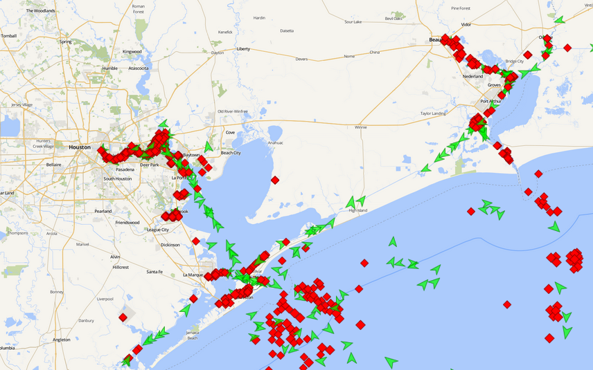
Vessel Colours
Displays vessel icon colour either by vessel type or by status (moving or not).
By vessel type:
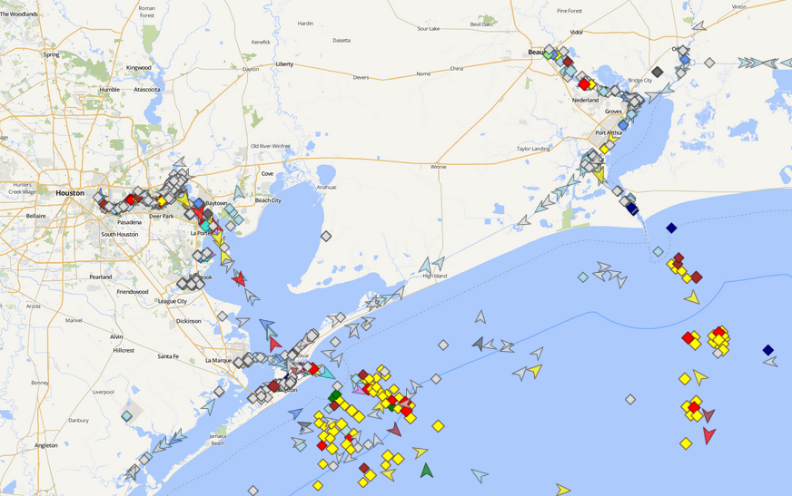
By status (moving or not):
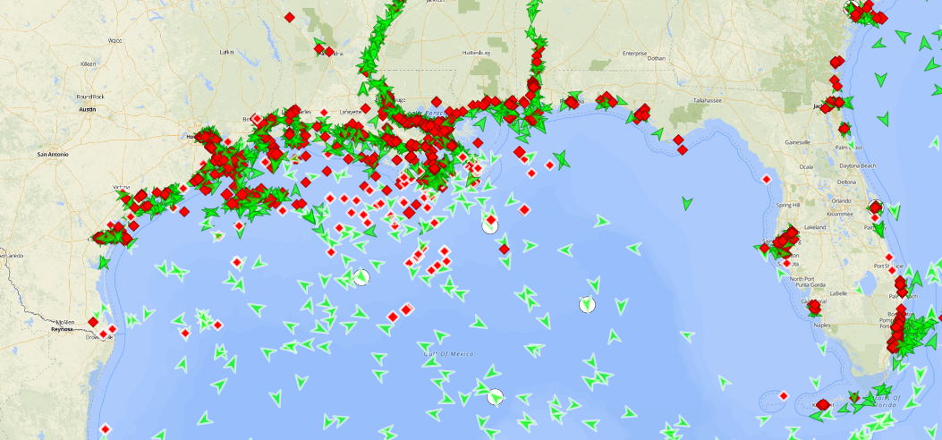
Highlight Satellite data
Differentiates antenna and satellite data by showing satellite AIS positions with a white outline and in a lighter colour than antenna data. The screenshot below shows antenna data along the coast of the Gulf of Mexico and Florida, with satellite AIS data further offshore.
Vessel Icon Size
Select a vessel icon size of either Normal, Large or Extra Large.
Vessel Names
Choose the size of the vessel name displayed, or choose to hide the vessel name completely.